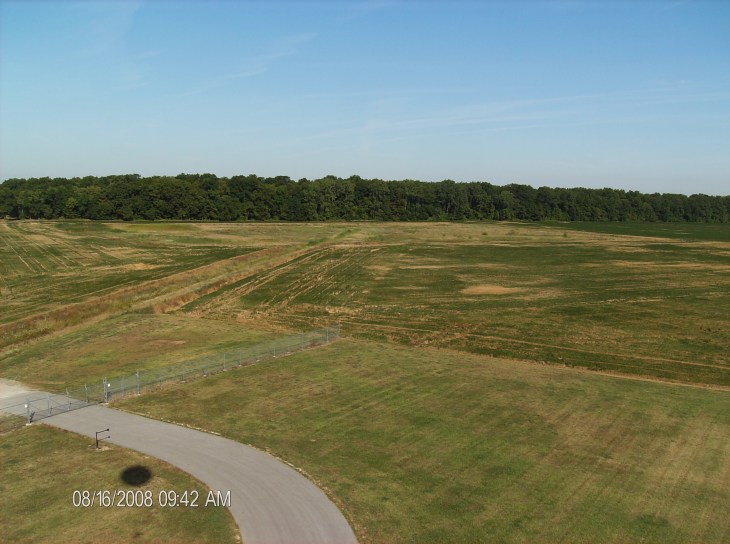
Start of ascent from Sandusky County Regional airport. Looking west. Less than 1000 ft ASL.
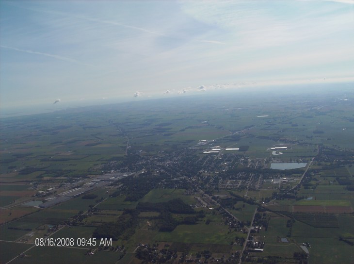
City of Clyde, OH. Looking east. About 4000 ft ASL.
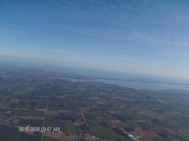
Sandusky Bay and Lake Erie, Davis-Besse Tower appears at left. Looking north. About 6000 ft ASL.
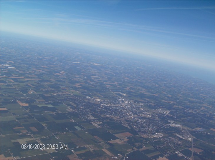
City of Fremont, OH, western end of Lake Erie appears middle right. Looking west. About 8800 ft ASL.

Lake Erie, Sandusky Bay, Lake Erie Islands, northern shore of Lake Erie in Canada. Looking north. About 29000 ft ASL
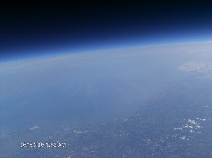
Sandusky Bay at lower left, Lake Erie, Lake Erie Islands, Canada, atmosphere. Looking northeast. About 70200 ft ASL.
